“Information must be available when needed”!
We have taken on this task of our customers.
We are pleased to present you with the KC WebGIS, a more than appealing solution.
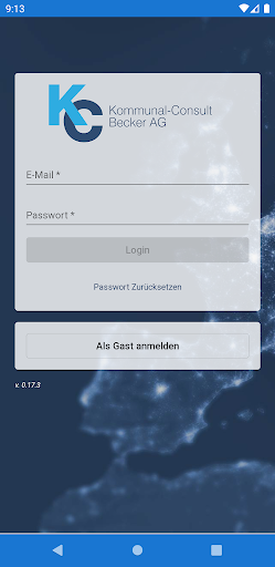
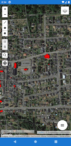
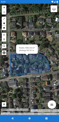
Here is a brief overview of the functions of KC WebGIS:- Mobile use of your GIS and geodata, on and offline on Android, IOS or Windows systems- Recording of point, line and area objects to supplement the existing specialist cadastres (online and offline)- Use GIS as a citizen to display various topics, such as B plans, free building sites, sights, cycling and hiking trails, etc.- Reporting of defects by citizens- Support the fire department: hydrant data for extinguishing water, display 3D building interior images, aerial photos, water and sewer data for backwater and flooding as well as measurement and evaluation functions.- Differentiation of users: Public users can/may only use the freely accessible data/background maps & evaluations.
Event reports are also possible by purchasing the municipalitys deficiency detector.
Official users have full access to GIS and geodata through the municipal license.
https://andro.io/app/webgis-powc
 Power 100

Android app profile
KC WebGIS for Android – Latest Version & Features
★★★★★
(0 ratings)
Rate this app
How do you feel about KC WebGIS?
Thanks for your feedback!
> 2.2k
Monthly Downloads
~$900
Estimated Cost
Screenshots