
Open-source aviation mapping program, no-nonsense basics with minimum bells and whistles.
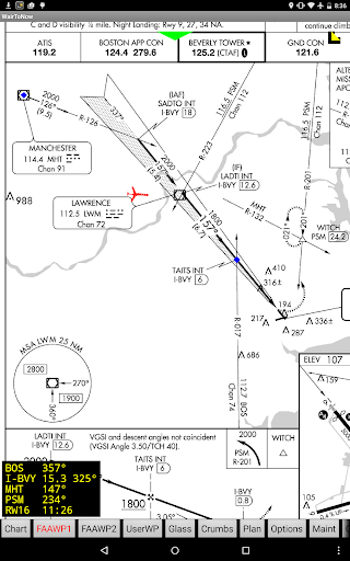
Includes geo-referenced airport diagrams and approach plates.
Source on https://github.com/mrieker/WairToNowApp covers areas covered by US charts, including sectionals, terminal area charts, helicopter charts and whats left of world charts.
Also included is mapping via OpenStreetMaps for walking/biking to nearby $100 hamburger stands, as well as georeferenced approach plates and airport diagrams.
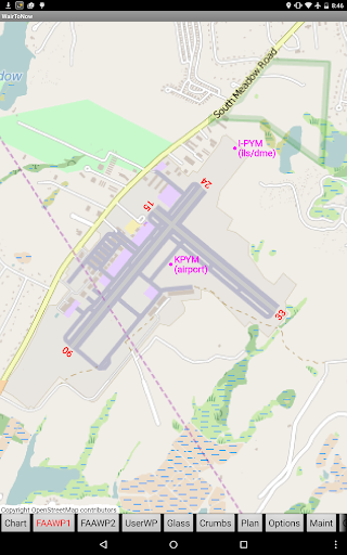
Also provides OpenStreetMap-backed runway diagrams for all airports, though they are primarily used for those airports that dont have official FAA-provided airport diagram plates.
Approach plates include an optional on-screen DME display that the user can configure.Also covers parts of Europe using charts from https://www.openflightmaps.org and provides access to plates from Eurocontrol.
The Eurocontrol plates are not geo-referenced but you can manually input your own geo-referencing information for plates you anticipate using.Server provides scripts to populate and operate a server, fetching the required data from online sources.
The scripts should be run every 28 days.
Server code available on https://github.com/mrieker/WairToNow if you want to set up your own.
https://andro.io/app/wairtonow
 Power 100


Android app profile
WairToNow for Android – Latest Version & Features
★★★★★
(0 ratings)
Rate this app
How do you feel about WairToNow?
Thanks for your feedback!
> 2.2k
Monthly Downloads
~$900
Estimated Cost
Screenshots


