
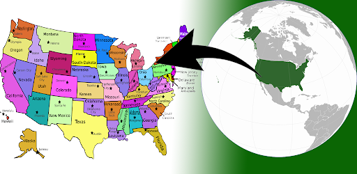
The United States of America is located on the North American Continent.
The United States is bordered by the Pacific Ocean on its west coast, the Atlantic Ocean on its east coast, Canada to the north, and Mexico to the south.The United States is a big country, and it definitely takes more effort to learn the US geography, US capitals, US states & American flags compared to other countries.
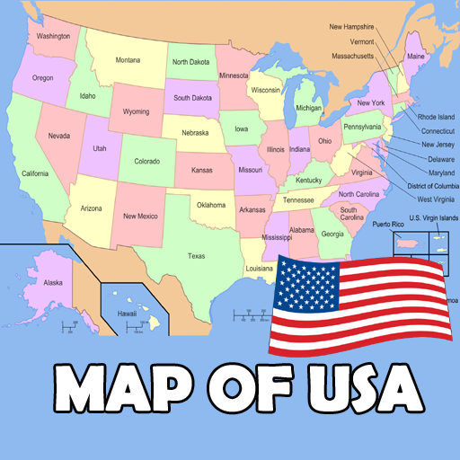
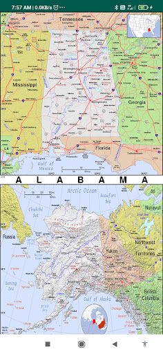
Whether youre a high school student or just a curious learner, our US geography quiz 50 States will help you master US capitals, states, flags & US maps.US States map contains information about all 50 US states, capitals, the state flag, and wiki links to know more about the state.Capital Cities:- Via this Atlas app for Map Of USA you can get search for the Capital Cities of each state.Must have mobile app features include:50 us states map with capitals namesmap of USA with statesu.s.
states and capitalsunited states map with citiesmap of the USA with states and major cities namesus atlasAmerican atlasatlas of the united statesblank us mappolitical map of USAus regions mapUSA in world mapus river mapUnited states elevation maptopographic map of usunited states road mapThis physical map of the US shows the terrain of all 50 states of the USAList of States:the map of Alaska, Washington dc on us map, Chicago map USA, Washington map USA, map of united states of America and Canada,Alabama, Arizona, Arkansas, California, Colorado, Connecticut, Delaware, Florida, Georgia, Hawaii, Idaho, Illinois, Indiana, Iowa, Kansas, Kentucky, Louisiana, Maine, Maryland, Massachusetts, Michigan, Minnesota, Mississippi, Missouri, Montana, Nebraska, Nevada, New Hampshire, New Jersey, New Mexico, New York, North Carolina, North Dakota, Ohio, Oklahoma, Oregon, Pennsylvania, Rhode Island, South Carolina, South Dakota, Tennessee, Texas, Utah, Vermont, Virginia, Washington, West Virginia, Wisconsin, Wyoming.United States Bordering Countries:Canada, MexicoRegional Maps:Great Lakes, U.S.
Territories, North America, World
https://andro.io/app/usstatemap
 Power 100
Android app profile
US States Map for Android – Latest Version & Features
★★★★★
(0 ratings)
Rate this app
How do you feel about US States Map?
Thanks for your feedback!
> 2.2k
Monthly Downloads
~$900
Estimated Cost
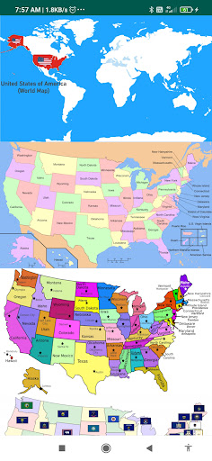
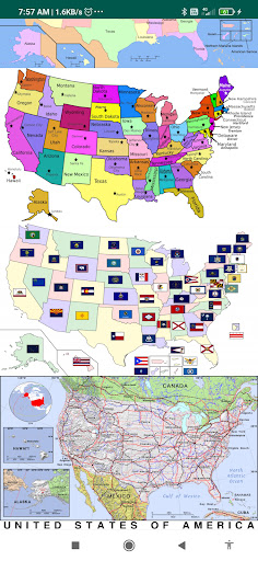
Screenshots


