
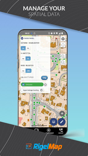
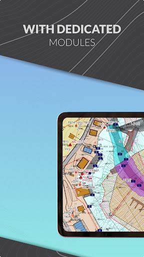
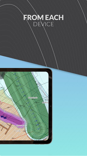
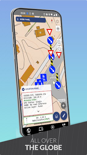
RigelMap is the environment for analysis, visualization and digitization of spatial data.With four modules and a user-friendly interface, RigelMap maximizes your workflow at the desk and in the terrain.An application is the cloud-based system that provides real-time synchronization.
Operations on different types of geometry are enabled by the CAD toolkit.
Intelligent Importer and Exporter support manyfile types like .kof, .gml, .dxf, .pqidat, xml and many others.
In addition, when importing data, the support provides a dynamic extent that will automatically adjust the appropriate coordinate system.RigelMap also includes a tool to generate geotechnical reports with photos, samples and descriptions.This tool can be used to document geotechnical work and share this information with colleagues or clients.The user has the ability to add geotechnical samples to the report and use ready-made layers, which allow for the creation of comprehensive and accurate reports with a single click.Additional tools available here:- quick surface measurement- high measurement precision with an accuracy of less than 5 cm- synchronization with statensvegvasen- integration with NVDB and Datafangstand many others!For more information, download the free e-book at https://www.rigelmap.shop/ and contact us!
https://andro.io/app/rigelmap
Rate this app
How do you feel about RigelMap?
Thanks for your feedback!
> 2.2k
Monthly Downloads
~$900
Estimated Cost
Screenshots