
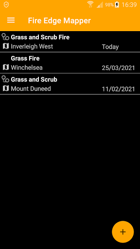
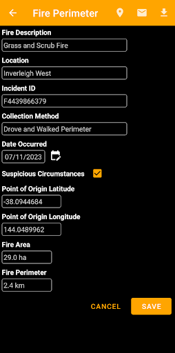
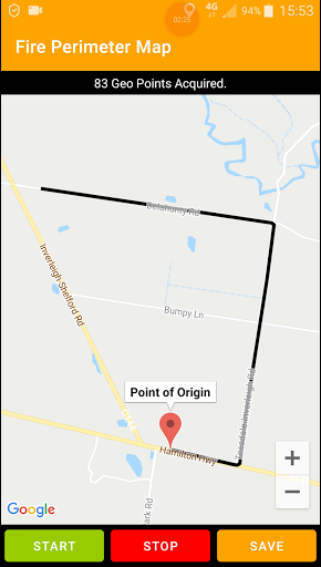
Fire Edge Mapper allows you to map the perimeter of a grass and scrub fire and email the KML file to wherever it needs to go.Features include:+ Record details about the fire, including the Point of Origin geo-coordinates, location and date.+ You simply drive (or walk) around the fire’s edge and the App maps the perimeter as you go.
You can stop mapping whilst you navigate around an obstacle and start mapping again once you have reached the other side.+ Calculates the fires area and circumference.+ Email a KML or CSV file to District Headquarters, your local Group and brigade members.+ Export a KML or CSV file to your device and analyse with MS Excel, Google Earth or other GIS software.+ Select the distance between geo-coordinates used when mapping the fire’s perimeter.EXPORT FILE TYPES+ KML File+ CSV FileSYSTEM REQUIREMENTSAndroid 5.0 (Lollipop) or Higher.SUPPORTED LANGUAGESEnglish
https://andro.io/app/pub-1cejj


Android app profile
Fire Edge Mapper for Android – Latest Version & Features
Power 100
Rate this app
How do you feel about Fire Edge Mapper?
Thanks for your feedback!
> 2.2k
Monthly Downloads
~$900
Estimated Cost
Screenshots