
Loved by millions, the Regrid Property App is a map-based solution that unlocks the world of land and property information to anyone with a smart phone.
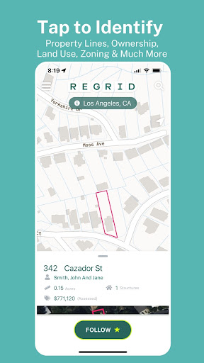
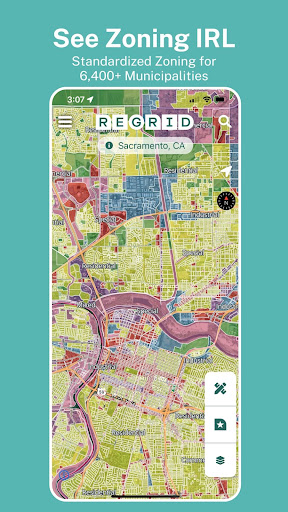
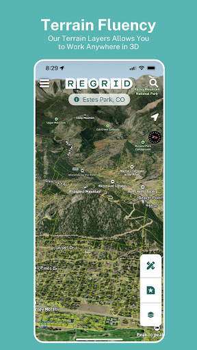
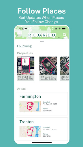
Tap a property to easily view property data and parcel boundaries for 157+ million parcels covering over 99% of the US population.Easy access to all of the following info (and more!):- Lot lines / boundaries- APN/Parcel ID/Regrid UUID- Property Address- Property Owner- Number of acres and square footage of properties- Sale price and date- Mailing Address- Property Value- Land Use- Standardized Zoning data- Vacancy IndicatorFor free, you get:- Access extensive public record property boundaries and details nationwide (no caps or time limit) with just an email address- Street and satellite basemap toggle- Search by address or place- Easy-to-use property map interface - Ability to share a link to properties of interest- Ideal for use as a property finder, real estate tool, and as a hunting app to find who owns land.If you sign up for our $10/month Pro plan, you also get:- Follow feature: create a list of properties you care about, and get automated updates when things change.- Additional basemap layers: building footprints, elevation (topo) contours overlaid on property boundaries.- Measure tool to calculate linear feet, acreage, and square footage of a drawn area- Overlay owner names and parcel ID on the mapPlus, Pro gets you access to our premium data fields:- Vacancy- Land use- Building footprint data- Residential & Vacancy indicatorPLUS: Full access to a host of additional mapping tools on our website, [regrid.com](http://regrid.com).
Signing up for a Pro account gets you access to both with the same login.
https://andro.io/app/pr-h6c3

Android app profile
The Regrid Property App for Android – Latest Version & Features
by Regrid
Power 100
Rate this app
How do you feel about The Regrid Property App?
Thanks for your feedback!
> 2.2k
Monthly Downloads
~$900
Estimated Cost
Screenshots