
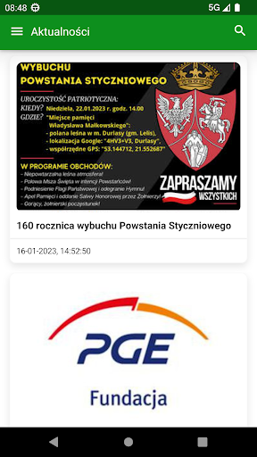
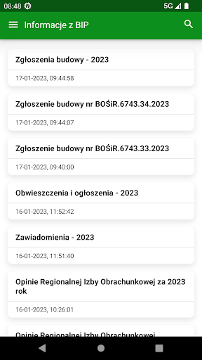
News, events and notificationsThe application offers instant access to poviat news and events, information from the Public Information Bulletin (BIP).
Thanks to it, you will receive notifications about a crisis situation.Map of needs - reporting problemsThe application allows you to report various problems or faults in a very simple way.
It can be, for example, defects in the surface of a district road, lack of road marking, damaged railings, posts, snow-free section of the road.
Select a report category, take a photo, press the locate button and submit your report.Interactive mapObjects on the interactive map are grouped into categories and subcategories, it has descriptive, contact and multimedia data.
An additional function is to start the navigation function leading to the selected object.You can use the application anonymously - you do not have to create an account and provide any data.
The application will only ask for permission to access:- push notification system so that you can receive crisis alerts or notifications about important news- a calendar to save the date of the event you are interested in, enter it in the plan of the day and remind you of it the day before- Photo vault to be able to add a photo to the problem reporting system- a GPS receiver to retrieve the precise location and assign it to the report
https://andro.io/app/powiatostrolecki



Android app profile
Powiat Ostrołęcki for Android – Latest Version & Features
Power 100
Rate this app
How do you feel about Powiat Ostrołęcki?
Thanks for your feedback!
> 2.2k
Monthly Downloads
~$900
Estimated Cost
Screenshots