

Let us be your guide.
An indispensable app for cruising, fishing, sailing, diving and all your activities on the water.
Get the same detailed marine and lake nautical charts and advanced features as on the best GPS plotters, and more.> TRY FOR FREE: Download the app and try all charts and features for a limited time.> SUBSCRIBE: Start your 1-year subscription to:- Download chart layers for offline use (permanent)- Access daily updates, chart overlays and advanced features (renewable)Use your subscription across your compatible smartphones and tablets by logging in to the Boating app with the same account.THE SUBSCRIPTION INCLUDES:> CHART LAYERS FOR OFFLINE USE- NAUTICAL CHART: A comprehensive cartography resource for lakes, rivers and marine areas.- SONARCHART™: An exclusive 1’ (0.5 meters) HD bathymetry map features extraordinary bottom contour detail enhanced by millions of sonar logs contributed by boaters.- COMMUNITY EDITS and ACTIVECAPTAIN® COMMUNITY: Crowd-sourced local information and points of interest shared by the Navionics® and Garmin ActiveCaptain boating communities.- U.S.
GOVERNMENT CHARTS (NOAA): Available with the following coverage areas: U.S.
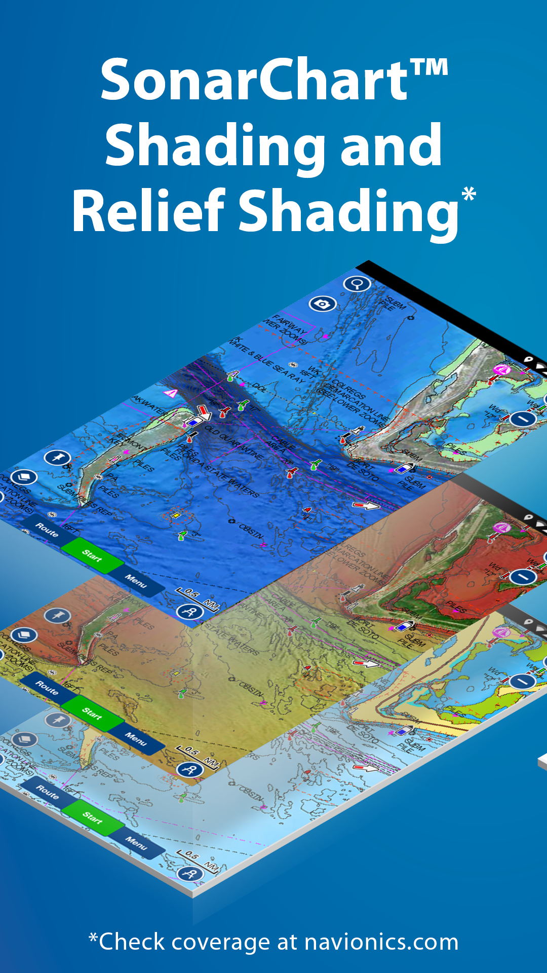
and Canada, Mexico, Caribbean to Brazil, Pacific Islands, Asia and Africa.> DAILY CHART UPDATES: The latest charts are available via download, with up to 5,000 updates every day.> FEATURES- CHART OVERLAYSSONARCHART SHADING: A detailed rendering of the seafloor and lake bottoms in varying shades of blue offers a unique perspective of underwater topography at a glance.RELIEF SHADING: Highly detailed shading combines color and shadow to provide an easy-to-interpret, clearer view of bottom structure.SONAR IMAGERY: Shows bottom hardness in vivid color to easily identify transition areas.
Available on select U.S.
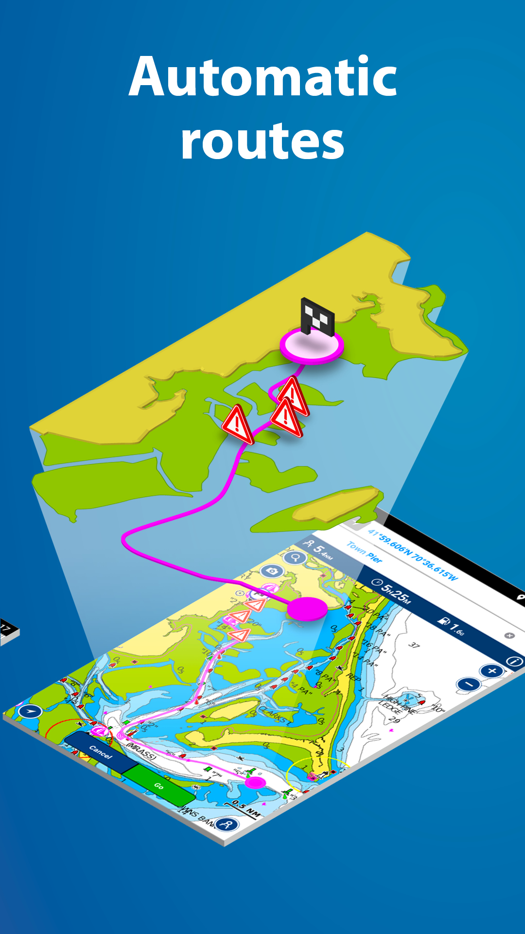
lakes.TERRAIN: Shows roads and useful points of interest on land.SATELLITE: Satellite images provided by a third party.- DOCK-TO-DOCK AUTOROUTING*: Start your trip with a suggested route based on chart data and navigation aids for advanced route planning that offers ETA, distance to arrival, heading to waypoint, fuel consumption and more.- CONNECTIONS: Stay in touch with friends and fellow boaters on and off the water.
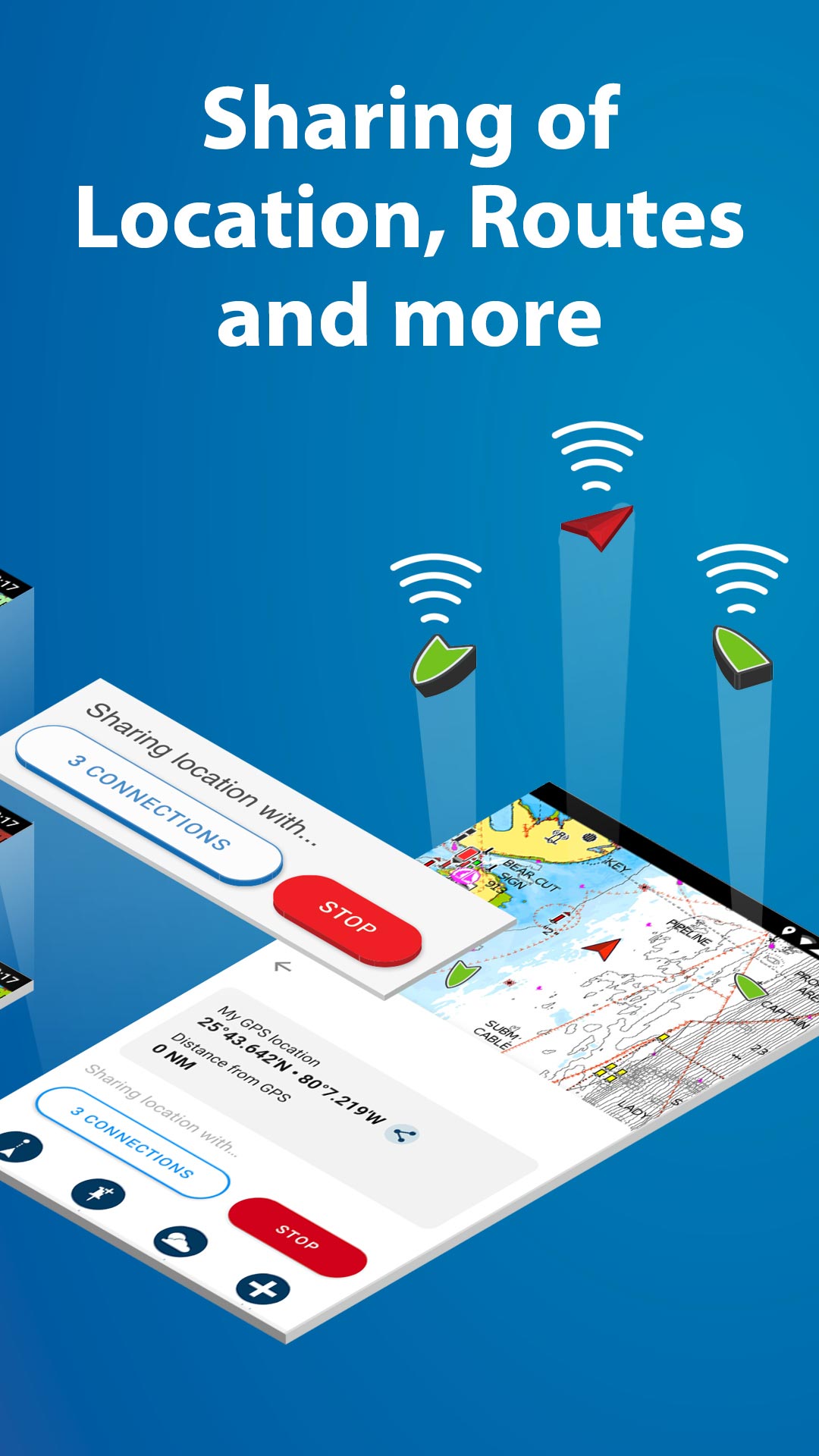
Share your profile, tracks, routes, markers and live location with your boating community.
ADVANCED MAP OPTIONS: Customize your chart views to change chart-overlay combination, highlight shallow areas, target multiple fishing ranges and more.- WEATHER AND TIDES: Access real-time weather data, daily and hourly forecasts, as well as wind, weather buoys, tides and currents overlaid on your map.- GPX IMPORT/EXPORT: Easily handle your tracks, routes and markers.
Share, store and display them on various apps, plotters and other compatible devices.- AIS: Connect the app to a compatible AIS receiver with Wi-Fi® connectivity to see nearby marine traffic overlaid on the map in real time.
No internet connection needed.- PLOTTER SYNC: Transfer routes and markers, update charts and more to compatible plotters.- TIMELINE: Enjoy looking back at your trips in the track timeline.RENEW SUBSCRIPTIONAfter 1 year, you can renew your subscription or keep using your maps with free features.FREE FEATURES- SONARCHART™ LIVE: Create your own 1’ (0.5 meters) HD bathymetry maps that display in real time while navigating.
Connect the Boating app wirelessly to a compatible sonar/plotter.
You can also automatically share your sonar logs, which helps us improve charts.- Includes track, route, distance, markers, wind forecasts, map options, sync my data, share location and more.NOTES: - Continued use of GPS running in the background can dramatically decrease battery life - The app is specifically designed to load and operate on devices with an OS of 5.0 or higher.- Wi-Fi is a registered trademark of the Wi-Fi Alliance.*Autorouting is for planning purposes only and does not replace safe navigation operations. We’ve updated our catalog!
Now it’s easier to find coverage for the waters you like to explore, thanks to new and extended coverage regions.
Though some coverage has been discontinued, that chart content has been more conveniently absorbed into several new and existing coverage regions.
Check the catalog in Menu>Charts and Updates.
D
2
★
★
★
★
★
(Updated review April 2022) The latest version is buggy. Locks up, stops getting gps location updates, crashes, and automatic routing no longer takes mast height into account - it's trying to route me through the ICW with a 70' mast. This all used to be rock solid, now it's nearly unusable. Hopefully the next update will fix this...