


The application Mt.
Athos Offline Hiking Map is a pure offline digital field guide for Mountain Athos.
The application is part of Offline Mapping Project of the Nakas Road Cartography, a company member of Nakas Group.
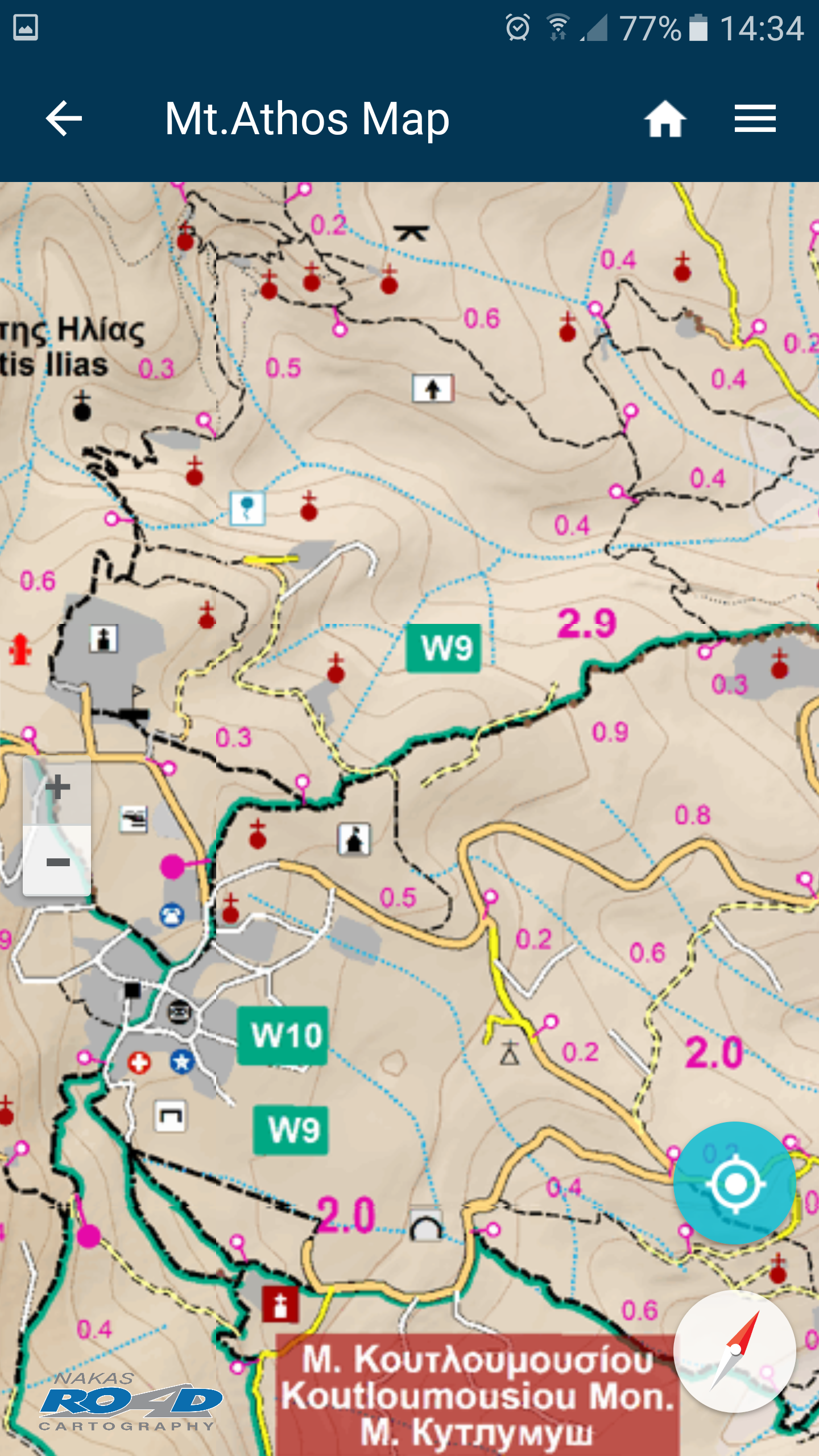
The Offline Mapping Project is the implementation of the Co-Creative team’s Vision to develop a comprehensive set of autonomous digital field guides in accordance with the requirements of its user community.The app contains high resolution digital maps with five zoom levels (1: 250.000 – 1: 15,000), compressed to 35.6 ΜΒ.
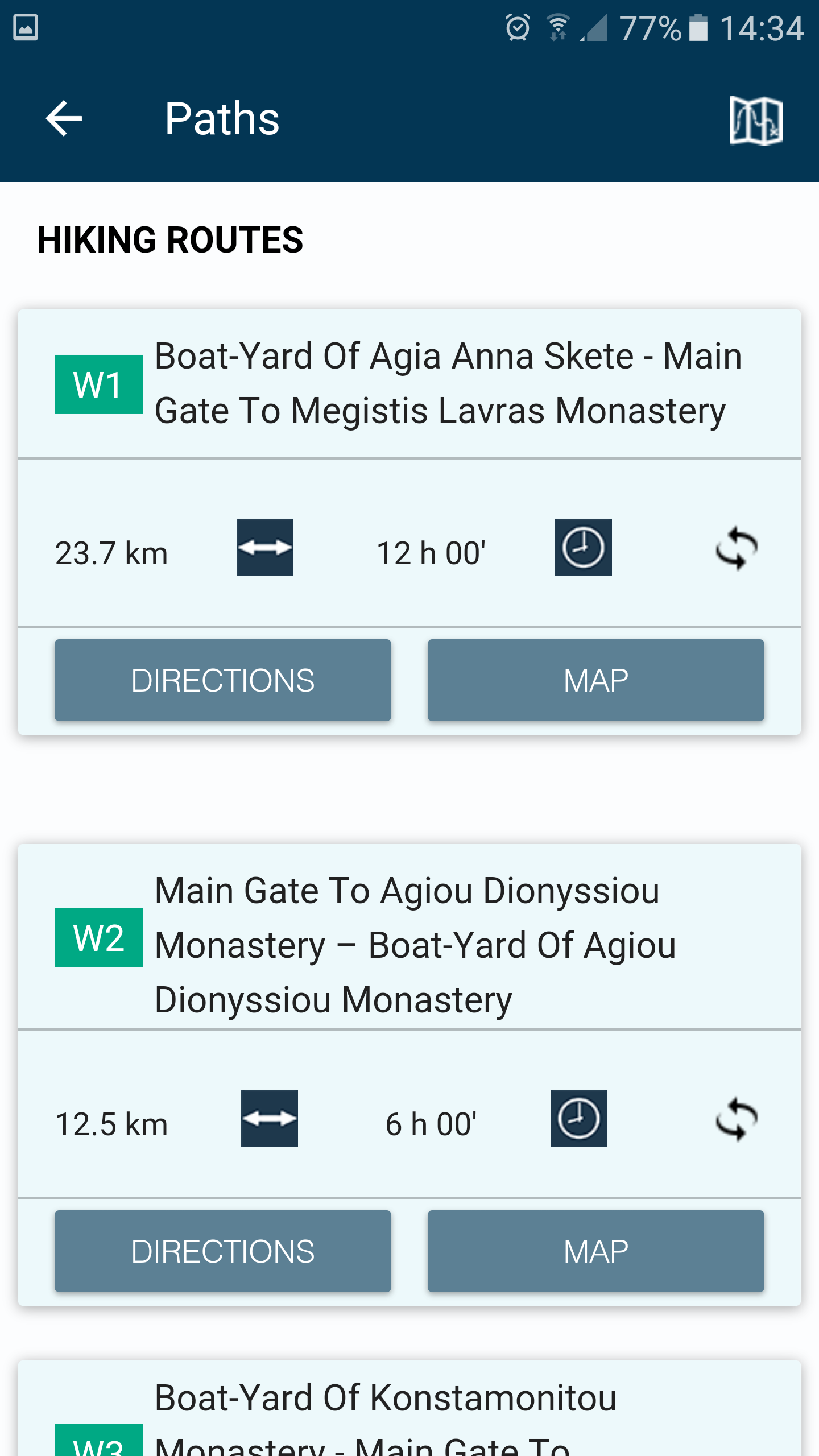
Also, contains a detailed description of 15 trails of Mountain Athos and compass functionality.
When the user is in the field, the application provides the user with contextual information with instructions, based on criteria of location (device GPS) and its direction.
Moreover, the application informs the user about the destination’s distance and the estimated time of arrival.
P
5
★
★
★
★
★
The most comprehensive Mount Athos map I've used. Very good.


