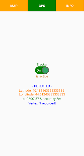
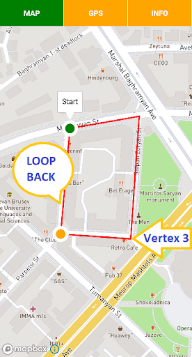
The app consist from 2 parts:• polygon GPS registrator• area and perimeter calculatorThe registrator takes a polygon vertices coordinates through the mobile GPS-receiver and if GPS signal deviation is not out of accuracy setup restriction then it registering a vertex.
The next vertex is registering when the distance from the last fixed vertex also exceeding the user defined distance threshold i.e.
step.
For the polygon area measurement required at least 3 registered vertices.
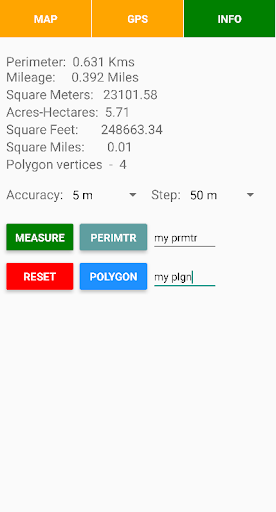
The app also measures the polygon perimeter.
The polygon GPS registrator is also operating in background mode.For the measurements the calculator loopbacks the first and last vertices of polygon.
Then calculates the area and perimeter.
After measure you can save the polygon and its outline in GeoJSON format.Notes:
★ you can switch on the GPS-receiver of registrator only when required to register the polygon vertex
★ the app may also operate in offline mode, which has a crucial meaning for the rural area and in desert
★ you can easily visualize GeoJSON file content on the map by http://geojson.io online tool and edit it or convert into other formats: KML, WKT, TopoJSON.
By other tools you can also merge multiple JSON files into one file
https://andro.io/app/gpspolygonarea
 Power 100
Android app profile
GPS recorder of polygon with a for Android – Latest Version & Features
by VISHAP
★★★★★
(0 ratings)
Rate this app
How do you feel about GPS recorder of polygon with a?
Thanks for your feedback!
> 2.2k
Monthly Downloads
~$900
Estimated Cost
Screenshots