
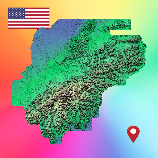
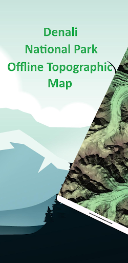
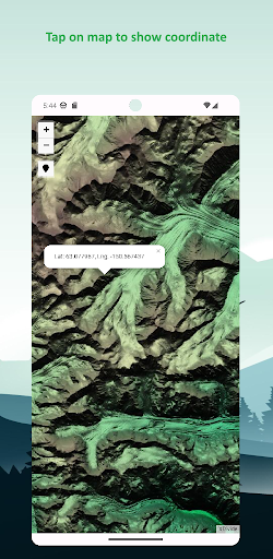
Designed with simplicity in mind, this app offers an intuitive user interface that enables you to quickly and easily find information about surroundings, without any prior technical knowledge or experience.The app offers offline topographic map of Denali national park, data used in this app meticulously provided and maintained by 3D Elevation Program (3DEP) - consist of lidar point clouds and digital elevation models at various horizontal resolutions.As a testament to our commitment to utilizing cutting-edge technology, we proudly leverage the Leaflet JavaScript library – a project born in Ukraine.
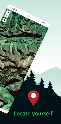
It delivers a seamless user experience that empowers you to explore and discover the world with ease.This app is the embodiment of our unwavering commitment to making the world a better place, and we are honored to provide a powerful platform that equips you with the tools and information needed to navigate and explore the surroundings with confidence and clarity.
https://andro.io/app/denali-127kv
 Power 100

Android app profile
Denali Offline Topographic Map for Android – Latest Version & Features
★★★★★
(0 ratings)
Rate this app
How do you feel about Denali Offline Topographic Map?
Thanks for your feedback!
> 2.2k
Monthly Downloads
~$900
Estimated Cost
Screenshots


