

Coupled with the GNSS Syslor receiver, this application intended for field operators allows you to view 3D models in Augmented Reality (project networks, existing networks, road projects, BIM projects, etc.).
The main features are:- Tracing of buried networks- Object attributes (type/actual depth/diameter)- Distance traveled counter- Manage the display of your objectsAdditional features:- Possible adaptation with your GIS- Management of topographic coordinate systemsPrerequisites to use the application you must have:- An account on the ARCAM portal (https://arcam.enedis.fr)- A Syslor GNSS receiver
https://andro.io/app/arcam


Rate this app
How do you feel about ARCAM?
Thanks for your feedback!
> 2.2k
Monthly Downloads
~$900
Estimated Cost
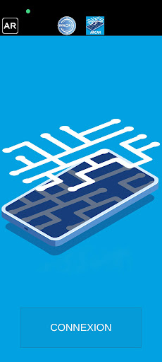
Screenshots


