
Outstanding functions of the application:1.
Look up details of the planning type of the land plot you are interested in2.
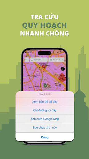
Look up planning information easily in many ways:- Look up by location- Look up sheet number and land plot number- Scan/Import/Upload coordinates file (*.txt, *.csv) of "Red Cover"- Search by street address- Search directly on the Google Map base map- Search through ViLand data warehouse3.
Rich accessibility- Convert vn 2000 coordinates to geographical coordinates- Create survey notes with images easily when going in the field- Measure details (points, length, area) accurately- Supports displaying national elevation map layers- Easily share information via social networking platforms or save to the users local storage4.
Data is continuously updated- Cadastral map (nationwide)- Land use planning, land use plans- Other planning on the map for easy monitoring5.
Provide many other supporting information to serve the real estate industryKey word:- Look up real estate planning- Land use planning- Planning lookup application- App to look up smart planning
https://andro.io/app/android-1m6ym
 Power 100


Android app profile
Viland Pro Tra cứu quy hoạch for Android – Latest Version & Features
by VILAND INFORMATION AND SERVICES LLC
★★★★★
(0 ratings)
Rate this app
How do you feel about Viland Pro Tra cứu quy hoạch?
Thanks for your feedback!
> 2.2k
Monthly Downloads
~$900
Estimated Cost
Screenshots


