Marine Weather | SailGrib at Google Play market analyse


🌐 website

Marine Weather | SailGrib at Google Play market analyse

App power index: 100 (based on ranks around App Stores today)
Weather
Developer: SailGrib
Price: $ 19.99
Current version: 10,000+, last update: 2 years ago
First release : 01 Jan 1970
App size: 7 Mb
4.2 ( 32 ratings )

Estimation application downloads and cost

> 2.2k
Monthly downloads
~ $ 900
Estimation App Cost


YACHTING WORLD - "IMPRESSIVE" - July 2014Designed for Iridium GO! and Approved by Iridium.SaiGrib is a weather and tides forecast app designed for the sailing community, cruisers and raceers, worlwide.Get all the major models of weather forecast from many different sources in one easy to use app.Weather data are downloaded as grib files while tides are calculated locally on your device.Features- pan and zoom the map to choose your region- download data using the best Grib files providers : SailGrib, Great Circle, GMN, OpenWRF, SailDocs...- specify the parameters(wind, pressure...) to your needs- request can be adjusted to match a maximum file size- can be used at sea with a satellite phone or the Iridium Go- offlline maps capability combined with satellite mail allows usage at sea.With SailGrib, you can download and view the following data:- Wind (10m above sea level)- Pressure (reduced to mean sea level)- Precipitation (accumulated over 6 hours)- Total cloud cover- Air Temperature ( 2m above ground)- Wave (significant wave height, mean wave direction and period)- CAPE- Tidal or oceanic currentsWith SailGrib, you can specify the following parameters for your grib file request:- grib provider : SailGrib, Great Circle, SailDocs, Open WRF, MeteoConsult, GMN, Mercator Ocean for oceanic and coastal currents ....- request method : direct download (SailGrib, Great Circle, MeteoConsult, GMN) or email (SailDocs, GMN or Great Circle)- grid resolution: from very high resolution to 2.5°- time step between forecasts :from 1 hour to 12 hours depending on models- number of days for the forecast: from 1 to 14 depending on model- maximum file size. SailGrib estimates the size of the grib file you request and adjust the grid resolution and the time step to make sure your file will size be lower than your set limit.With SailGrib, you can view the following data:- Windbarbs- Isobars- Precipitation maps- Cloud cover maps- Temperature maps- Waves maps and arrows- CAPE map- CurrentsWARNINGS:- Tide forecast are not official and are for reference purpose only.- Grib files are computer-generated forecast files which are sent without review, and are offered on an as-is basis. There is no assurance that the data is accurate or correct. By using these data you agree to these limitations and assume all the responsibility for their use.DISCLOSURE:SailGrib uses the JGRIB Java GRIB decoder (jgrib.sourceforge.net) and OpenStreetMap (www.openstreetmap.org)- Updated Android libraries- Bug corrections and performance improvements

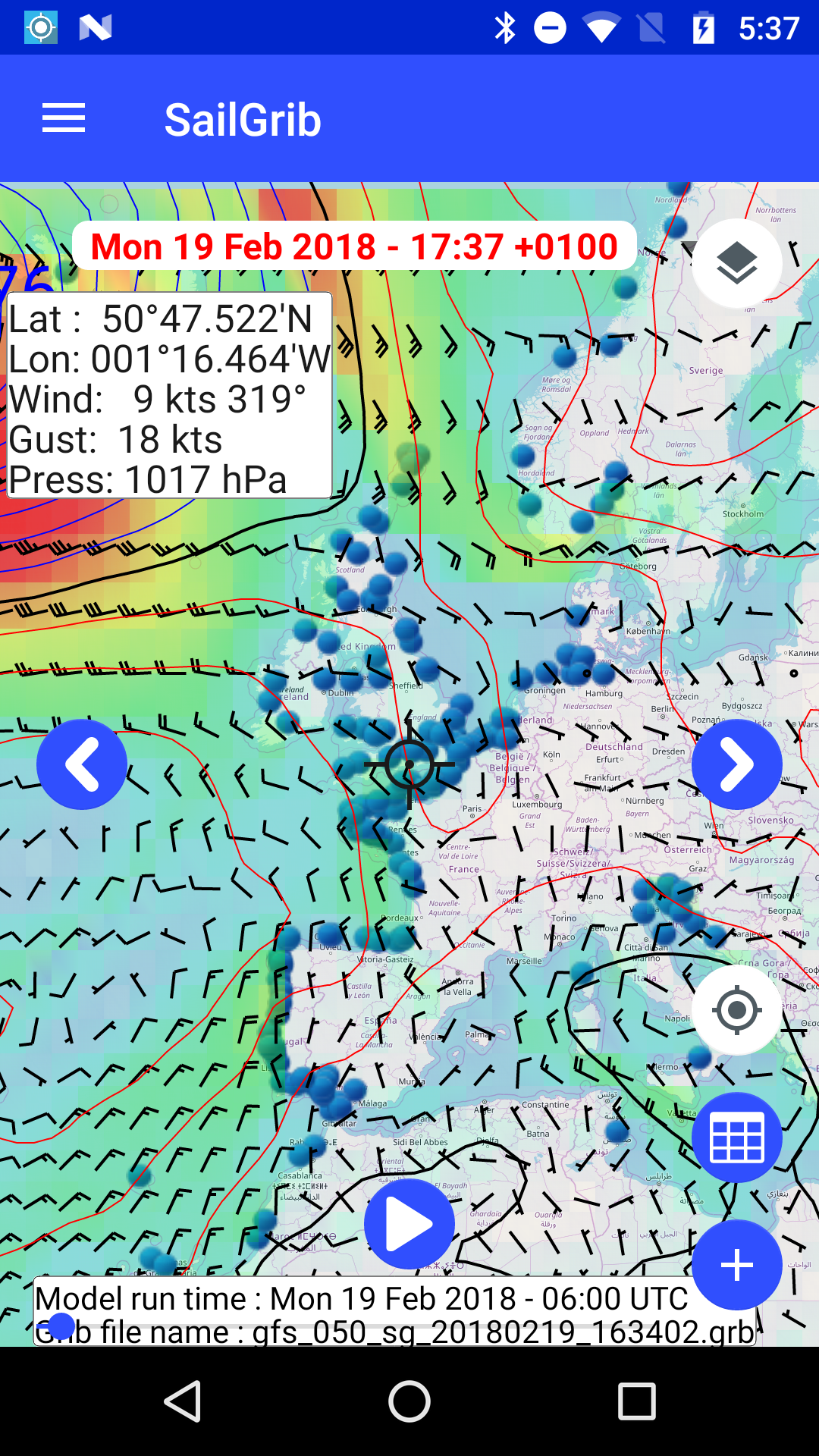
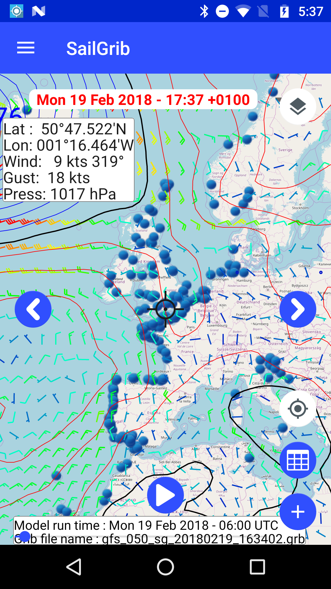
I use GRIB data when going offshore between Annapolis, MD and points south, like Florida and the app is very useful for this purpose. One glitch is that sometimes, half a state size sections of the chart disappears and one cannot see the shore lines, not confidence inspiring. What if the app lost the GRIB data when you are two days offshore?

Easy to use and simple to understand, had some problems downloading grab files but these disappeared when I used the alternative method provided.

Just simple and good information required for sailors

It's good!

Best sailing wind app I've tried so far!

Great

Great

Read more App Reviews