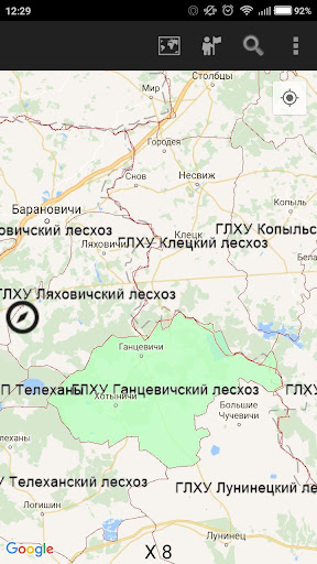
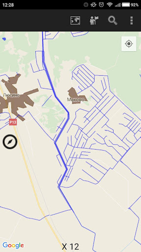
Mobile GisLes provides information on the spatial distribution of forest resources in the form of forest maps. The app makes it easy to quickly and sufficiently obtain detailed information about any part of the forest, about the location of taxation allocated, species composition of plantations, the projected economic activities, schedule and analyze possible directions of movement on the map, and others. The built-in mobile GPS-receiver device determines the geographic location of the device and indicates it on the Woodland map. Mobile GisLes provides storage of accurate data on forest resources and forest card in his pocket.