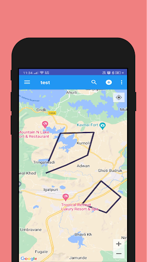
Identify the crime location directions and justify the roots images at and policy applied. This app also allows you to choose KML files from the phones file browser and load them into the map view of the app to allow operations like adding Waypoints, Polylines, Polygons and Photopoints which also allows to add images to the users by clicking from camera or gallery.